
Route Info
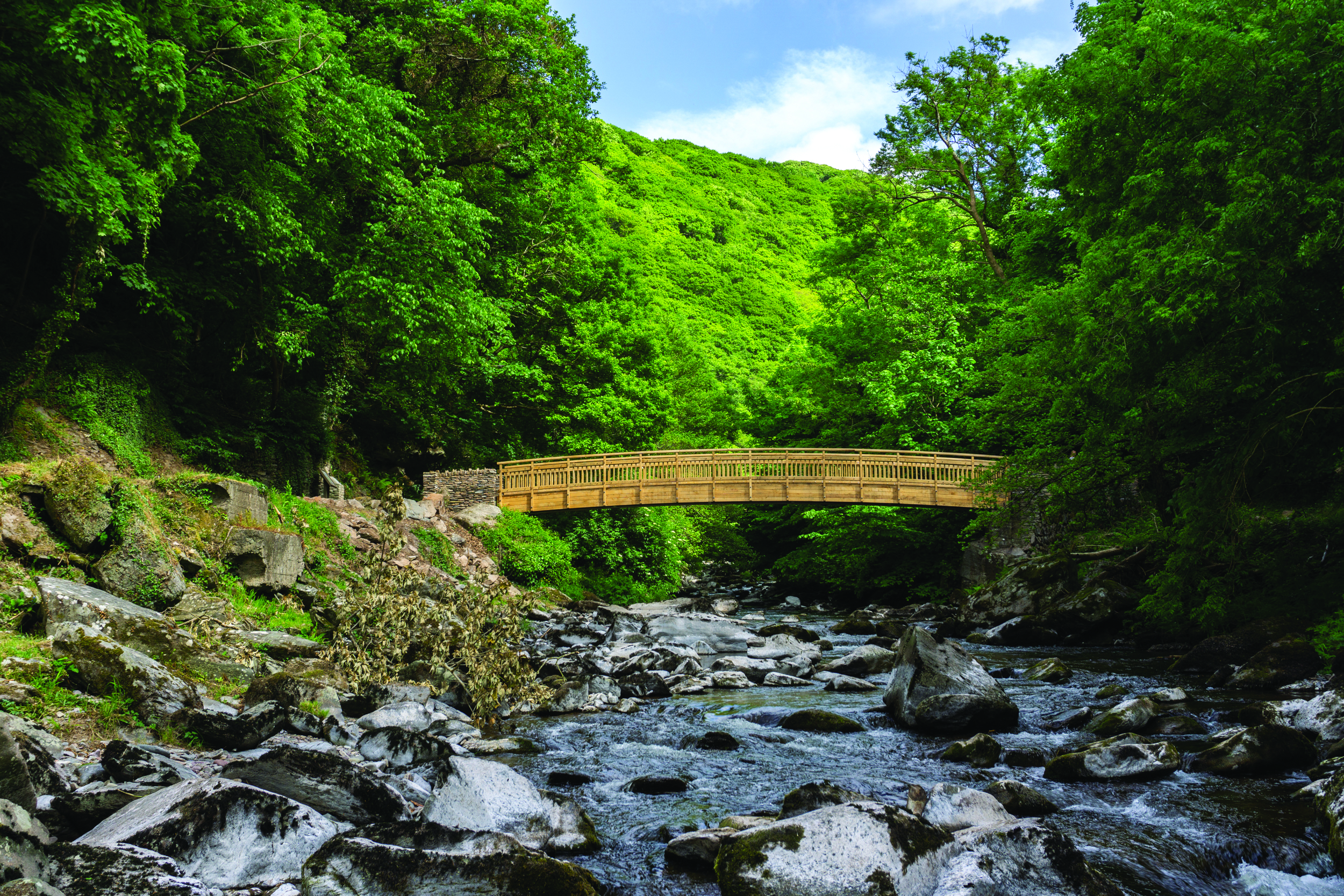
A relatively level walk beside the cascading East Lyn River.
0.8 miles, Access for all. Ordnance Survey digital map. You can use the app for free but advanced features are available to subscribers.
Route guide download (PDF).
The entire strolls collection can be purchased online or from our National Park Centres
Watch the Video
Each of our Strolls has a video to give you an idea of what to expect on the route, and how accessible it is.
Exmoor Strolls
This is one of our favourite short, more accessible routes to experience the best of Exmoor.