
Hawkcombe Head to Dunkery
Hawkcombe Head to Dunkery
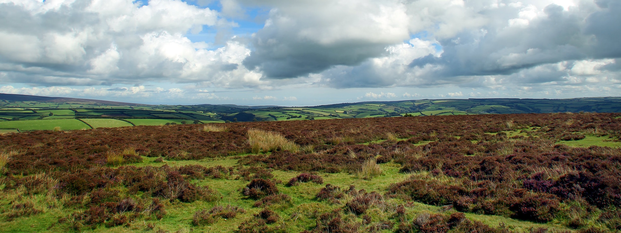
Winsford Hill
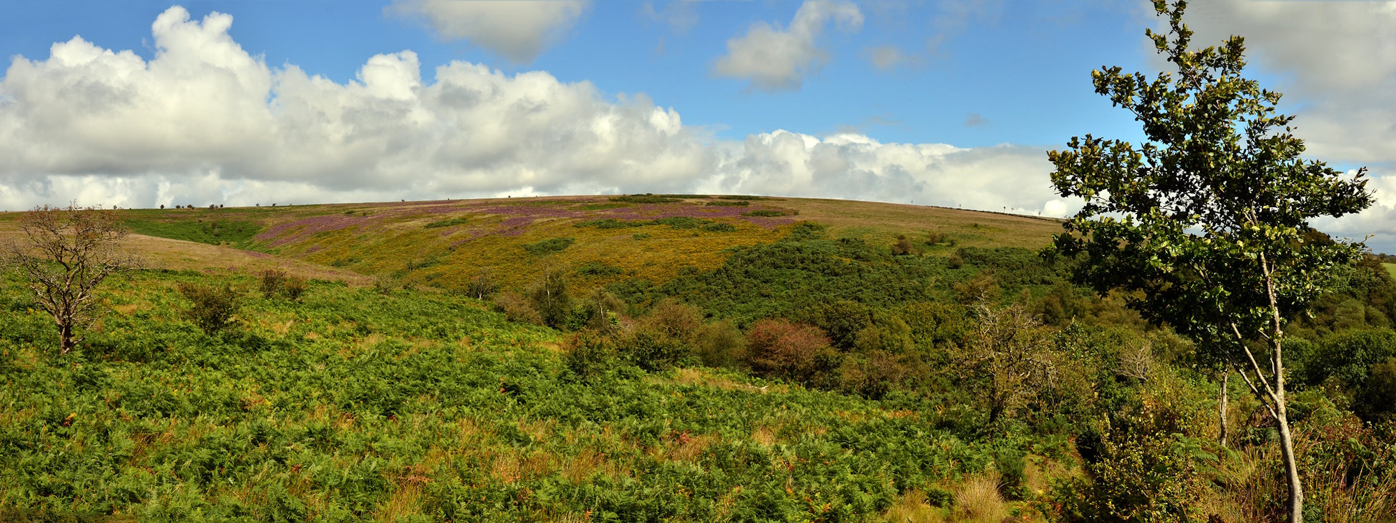
Molland Moor
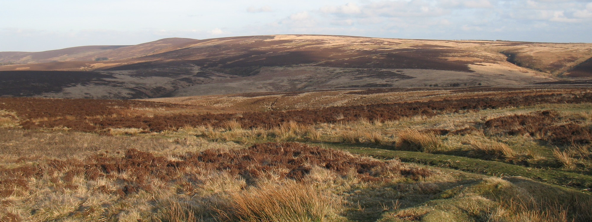
Exmoor National Park was designated in recognition of the outstanding beauty, wildness and tranquillity of the moorlands, which dominate its landscape. The moors and heaths are at the heart of the National Park; wide open areas, overlooking the whole of West Somerset, North Devon and the Bristol Channel coast. While they appear to be wild untamed landscapes, they are in fact the result of centuries of human and livestock interaction.
Moorland is the name given to areas of ‘semi-natural’ habitat usually dominated by short shrubs such as Bell Heather, Ling and Gorse or various rough grasses and sedges. While widespread worldwide, they are fast disappearing especially in Europe.
On Exmoor Moorlands include upland, dry heath type habitats as well as the often wetter mires.
Moorland or heath landscape accounts for a quarter of the area of Exmoor National Park, 18,300 hectares of land lying between 305 m (1000 ft) and 519 m (1700 ft) above sea level. The central moorland lies largely within the parish of Exmoor, the former Royal Hunting Forest area, protected from Norman times until the 19th century. This is surrounded by a fringe of commons and coastal heaths each linked historically to the villages surrounding the moor.
10,000 years ago – Exmoor became covered in trees with the end of the ice age
8000 years ago – Mesolithic era. Hunter gathering tribes moved in
6,000 years ago – Neolithic era. People began growing crops and keeping animals
4000 years ago – Bronze Age. As areas got cleared for hunting and animal rearing, burning was used for agriculture. It is not clear how much deforestation was caused by climatic changes and how much by human activity.
800 years ago – swaling is recorded in Britain in the 14th C. Recent sampling on Exmoor suggests burning in a controlled manner dates at least this far back. At this time there was also periodic cultivation on the Southern Commons.
200 – 40 years ago – ploughing and drainage of moorland increased dramatically. Large areas of moorland were ploughed under to make pasture after WW2; approximately 16% of the 1947 total. This resulted in the Porchester Report of 1977 and the beginnings of moorland being recognised as an important resource.
30 years ago – Heather & Grass Burning Regulations define the lawful period and the requirement of neighbour notification.
20 years ago – A lot of moorland areas given statutory protection as SSSIs and SACs
From a historic perspective the relatively low levels of ploughing over the moorlands has resulted in the survival of archaeological monuments from the earliest prehistoric periods. These form a rare and nationally significant resource. They include; Neolithic/early Bronze Age standing stones and stone settings, Bronze Age settlements (hut circles and enclosures), field systems, barrow groups and Iron Age hillforts and enclosures. More recently medieval farming has shaped the moorlands and there are many sites which illuminate the farming practices and economies at that time. More recently still the Parliamentary Inclosures and the Reclamation of The Royal Forest of Exmoor from the mid 19th century led to landscape scale changes. The last 200 years have seen a major reduction of the moorland area, as the heaths and bogs were converted to more agriculturally productive grassland and forestry.